

Fast Facts
- Google Earth’s new AI feature allowed users to generate realistic fake satellite images.
- Created images included nuclear plants, flooded cities, and accident scenes, raising concerns.
- Google quickly disabled the feature, citing policy violations and safety risks.
- The incident highlights risks of AI-generated disinformation using trusted tools.
The Power and Risks of AI-Generated Satellite Images
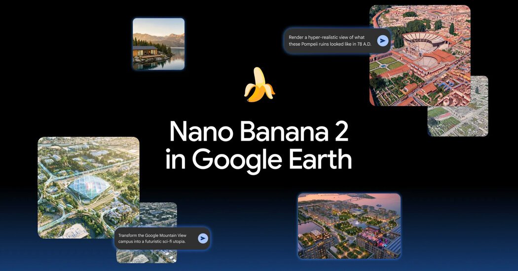
For a day, Google’s new AI feature made it easy to create fake satellite images. It allowed users worldwide to type any scene they wanted to see. The tool used real satellite data from Google Earth as a base, then generated photorealistic images based on user prompts. Google designed it to spark creativity and help with visualizing ideas, such as ancient ruins or future cityscapes. However, the feature revealed how easily it could be misused.
Within hours, researchers and everyday users tested the tool’s boundaries. They created images of nuclear plants, war zones, burned forests, and flooded cities. Some images looked so real they could deceive viewers. The credibility of Google Earth as a trusted source made these fakes particularly dangerous. People could use the images to spread false information, manipulate public opinion, or hide real events.
Google responded quickly. It disabled the feature the day after launching it. The company said it would add safeguards to prevent harmful uses. It also acknowledged that fake images could slip past detection methods. Although images were watermarked as AI-generated, some screenshots still tricked viewers and detection tools. Google remains committed to restoring the feature with future controls in place, but the incident highlights a larger conversation. As AI technology advances, so must our understanding of security, trust, and responsibility in sharing visual data.
Balancing Innovation With Responsibility
This episode shows that innovative tools can push the boundaries of technology. They open new opportunities for entertainment, education, and research. Yet, they also pose risks. Fake satellite images could be used to spread misinformation or cause confusion in crises. For instance, doctored images of natural disasters or military activity could influence public opinion or interfere with diplomatic efforts.
Governments, companies, and users all share responsibility. Developers must embed safeguards to prevent misuse from the start. Users, in turn, should approach satellite imagery with healthy skepticism, especially when images seem too perfect or out of place. Google’s quick action demonstrates that technology companies can respond to malicious uses, but prevention is better than cure.
As AI tools become more accessible, society must foster a balanced approach. We need to valorize innovation that benefits humanity but remain vigilant against abuses. Clear policies, trusted sources, and awareness can help preserve the integrity of visual information. The hope is that future versions of such tools will include smarter safeguards, maintaining both their usefulness and their security.
Expand Your Tech Knowledge
Explore the future of technology with our detailed insights on Artificial Intelligence.
Access comprehensive resources on technology by visiting Wikipedia.
TechV1
