

Top Highlights
- Curiosity returns to Mount Sharp after recent geologic investigations.
- Fall season reduces dust storm activity in Gale Crater.
- Rover conducted detailed imaging and geochemistry on rocks and erosional features.
- Ongoing environmental monitoring assesses dust storms and atmospheric conditions.
Curiosity Blog, Sols 4982–4987: Back to Our Regularly Scheduled Programming
After a short detour to investigate an erosional surface on Mars, NASA’s Curiosity rover is back on its main mission. The recent work focused on studying Mount Sharp and the surrounding geology in Gale Crater. As the seasons change on Mars, temperatures drop, and dust storms become less common—though the rover remains vigilant for the last signs of dust activity from late-season storms.
Returning to Main Operations and Science Activities
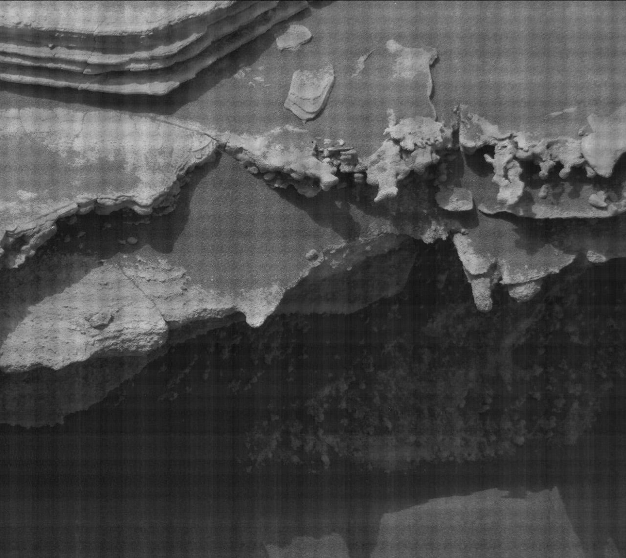
From Sol 4982 to 4985, Curiosity spent time exploring a unique geologic feature just above a contact zone. The team used the rover’s cameras and instruments to gather detailed images and measurements. The Mastcam took high-resolution mosaics of the erosional ridge called “Los Toldos” and a distant bedrock exposure named “Los Ladrillos.” Meanwhile, the MAHLI camera reacquired images of the “Tres Morros” target, helping the science team understand the geology underneath the surface. The APXS instrument measured the chemistry of bedrock targets “El Motacusal” (after brushing with the Dust Removal Tool) and “Alto de Carmen.” These measurements help scientists determine the mineral composition of the rocks.
The ChemCam instrument conducted laser spectroscopy on targets “Lagunas Bravas” and “Parququcha,” analyzing their chemical makeup from a distance. It also performed remote imaging on a rock called Mishe Mokwa. Over the same period, Mastcam captured images to document the stratigraphy and details of the erosional features. I participated in the Mastcam activities, helping to gather images of the ridge and surrounding landscape to assist in the study of the area’s geological history.
On Sol 4985, the rover drove about 30 meters (roughly 100 feet) to a new position. Although the spot offered flat, interesting bedrock, safety concerns limited some activities. The rover’s left-front wheel was positioned on a small rock, which posed a risk during arm movements. Despite this, the team performed contact science on the targets “Mamorecillo” and “Aguas Claras” using the MAHLI camera and APXS instrument. ChemCam also planned to use its laser to analyze three targets nearby, including a dark, resistant rock layer called “Yura Kasa.” Mastcam continued imaging the stratigraphy of the unit above the erosional contact, helping decode the geological history of this area.
Weather Monitoring and Progress Toward Mount Sharp
As part of the mission’s ongoing environmental monitoring, Mastcam took multiple images to measure dust in the atmosphere. These measurements help determine the amount of dust and its impact on solar energy and visibility. APXS collected atmospheric data overnight, while Navcam conducted a series of activities like dust devil surveys, cloud movies, and zenith observations. These efforts help scientists understand Martian weather patterns and dust activity, which can affect rover operations and scientific observations.
Looking ahead, Curiosity plans to drive about 47 meters (150 feet) southwest, moving closer to the base of Mount Sharp once again. The rover’s next activities will include more contact science, remote sensing, and driving, all aimed at uncovering the layered history written into the Martian surface. The mission team will return Monday to begin another week of exploration, guided by the latest data and observations collected on Mars.
Stay Ahead with the Latest Tech Trends
Learn how the Internet of Things (IoT) is transforming everyday life.
Discover archived knowledge and digital history on the Internet Archive.
Space
