

Summary Points
- NASA evaluated Umbra SAR satellite data for Earth science research applications.
- Strengths include high-resolution images and quick data acquisition capabilities.
- Weaknesses highlighted geolocation inaccuracies and limited software compatibility issues.
- Overall data quality did not fully meet NASA’s expected performance standards.
Evaluation Findings on Umbra SAR Data
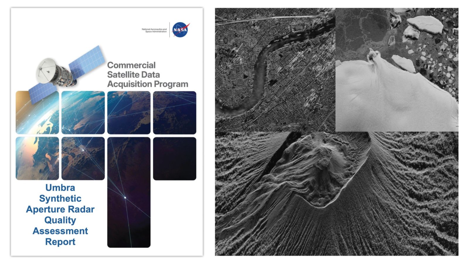
NASA’s Commercial Satellite Data Acquisition (CSDA) program recently released two important reports evaluating data from the Umbra X-band Synthetic Aperture Radar (SAR) satellite constellation. These assessments play a crucial role in guiding both NASA’s program management and the broader user community. They assess the quality of Umbra’s commercial data for use in Earth science research and applications.
The CSDA Umbra SAR Principal Investigator Evaluation Summary outlines findings from various evaluation teams. These teams gained access to the Umbra archive and had the capability to task the satellite constellation for new data acquisitions. This tasking ability allowed participants to explore the effectiveness of Umbra data in urgent situations, such as monitoring harmful algal blooms or other rapidly changing environmental conditions.
The Principal Investigator Evaluation Summary highlighted several strengths of the Umbra SAR data. Notably, its high spatial resolution and taskable access offer frequent opportunities for data acquisition. The imaging flexibility, with various azimuth and incidence angles, enhances its utility for diverse applications. Furthermore, the company’s Open Data Program adds value by making data more accessible.
However, the evaluation teams also identified weaknesses within the data. Geolocation errors, both large and small, were a significant concern. Additionally, some issues regarding software compatibility, metadata usability, and missing technical documentation were noted. These factors may impact how effectively the data can be integrated into existing workflows.
Radiometric and Geometric Quality Assessments
The second report, the CSDA Umbra SAR Quality Assessment Report, provides insights from radiometric and geometric analyses carried out by NASA subject matter experts (SMEs). Following guidelines established by NASA and the European Space Agency (ESA), the SMEs evaluated the fundamental quality of the Umbra data.
Most assessments focused on Level 1 single-look complex (SLC) data products in Sensor Independent Complex Data (SICD) format, along with additional Level 2 products to assess scientific usability. While the spatial resolution of the data matched Umbra’s specifications, the analysis of geolocation accuracy revealed discrepancies. The positioning performance did not meet expected standards according to the SMEs.
In terms of radiometric performance, the evaluation examined absolute accuracy, stability, and sensitivity. The experts found that the data underperformed when compared to established, well-calibrated reference SAR systems. This underperformance raises important questions about the reliability of the Umbra data in critical applications.
The CSDA program is committed to identifying and integrating commercial satellite data to support NASA’s Earth science research goals. It recognizes the potential of commercial satellite constellations to foster innovative approaches to Earth system science while providing cost-effective data solutions. Users interested in the comprehensive findings of these evaluations can access the full reports on the CSDA’s Umbra commercial vendor webpage.
Stay Ahead with the Latest Tech Trends
Dive deeper into the world of Cryptocurrency and its impact on global finance.
Explore past and present digital transformations on the Internet Archive.
Space
